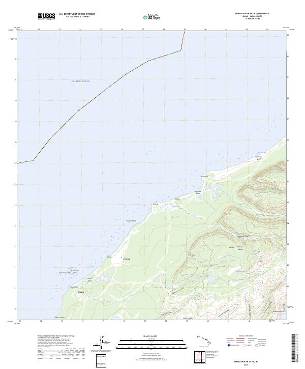
2024 Map of Niihau North OE W
USGS Topo · Published 2024About this map
Pu‘uwai sits on the western edge of the island, representing the primary human settlement in a landscape dominated by dramatic coastal features and inland drainage basins. The map details the transition from the sandy reaches of Pu‘uwai Beach and Ki‘eki‘e Beach to the intricate network of valleys that carve into the interior, such as Kahunāli‘i Valley and Keanauhi Valley. Near the center of the northern coastline, the presence of Lo‘e Lake and the nearby settlement at Kālehu suggests a concentration of seasonal activity or ecological significance in an otherwise arid coastal environment. The northwestern shoreline is defined by hazardous maritime features like Kuakāmoku Reef and Kuakāmoku Rock, which contrast with the sheltered waters of Keawanui Bay further east. This modern survey illustrates the enduring geographic isolation and traditional place names that characterize the northern reaches of the island.
Find a feature on this map
33 named features on this map. Tap any name to fly to it.
Don’t see what you’re looking for? This feature index may not catch every label — zoom into the map to look around manually.
Map Details
Editions of this 2024 Niihau North OE W Map
This is the sole edition of this map. No revisions or reprints were ever made.
Other maps of this area

1954 · Kauai
USGS Topo · 1:250,000

1967 · Kauai
USGS Topo · 1:250,000

1970 · Kauai
USGS Topo · 1:250,000
1984 · Niihau South
USGS Topo · 1:25,000
1984 · Niihau North
USGS Topo · 1:25,000
1989 · Halalii Lake
USGS Topo · 1:24,000
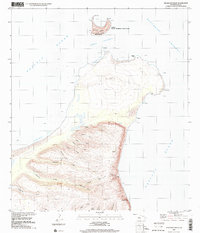
1989 · Keanauhi Valley
USGS Topo · 1:24,000
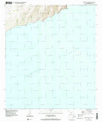
1989 · Honuaula Valley
USGS Topo · 1:24,000
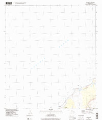
1989 · Kalanei
USGS Topo · 1:24,000
2013 · Niihau South OE W
USGS Topo · 1:24,000