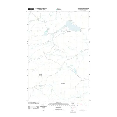
2011 Map of Nilan Reservoir
USGS Topo · Published 2011About this map
Nilan Reservoir and its surrounding water management infrastructure dominate this portion of Lewis and Clark County. This modern survey highlights a complex network of dams and controlled water bodies, including Nilan Reservoir, Anderson Lake, and Smith Lake. The engineering influence of the J B Long and Company Number 3 Dam and J B Long and Company Number 2 Dam reveals the importance of water storage in this high-plains landscape. Moving south from the reservoir, the terrain transitions into more pronounced relief near Haystack Butte and the winding course of Swallow Canyon. Several rural routes, such as Smith Creek Rd and Goss Creek Rd, provide access to the L F Ranch and the various tributaries of Willow Creek and Smith Creek, illustrating the remote ranching and irrigation patterns of the early 21st century.
Find a feature on this map
22 named features on this map. Tap any name to fly to it.
Don’t see what you’re looking for? This feature index may not catch every label — zoom into the map to look around manually.
Map Details
Editions of this 2011 Nilan Reservoir Map
This is the sole edition of this map. No revisions or reprints were ever made.
Other maps of this area

1903 · Saypo
USGS Topo · 1:125,000

1903 · Coopers Lake
USGS Topo · 1:125,000

1920 · Choteau
USGS Topo · 1:125,000

1943 · Hogan
USGS Topo · 1:125,000

1955 · Choteau
USGS Topo · 1:250,000

1957 · Choteau
USGS Topo · 1:250,000

1958 · Choteau
USGS Topo · 1:250,000

1958 · Barr Creek
USGS Topo · 1:24,000

1958 · Sawtooth Ridge
USGS Topo · 1:24,000

1960 · Gilman
USGS Topo · 1:62,500