
1958 Map of Sawtooth Ridge
USGS Topo · Published 1960About this map
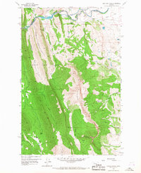
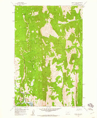
The North Fork Sun River carves through the northern reaches of this Montana landscape, where the Lewis and Clark National Forest boundary meets the high ridges of the Rockies. The water management system is clearly defined, featuring the Diversion Dam which feeds both Diversion Lake and the Willow Creek Feeder Canal to the east. This 1958 field-checked survey highlights the balance between wilderness and human utility, documenting the transition from the ranch lands like the Neal Ranch and Stecker Ranch to the steep, vertical walls of Sawtooth Ridge. Transportation in the interior is dominated by specialized routes including the Home Pack Trail and West Fork Pack Trail, essential for navigating the deep cuts of French Gulch and Norwegian Gulch. Lodging and administrative sites such as the Sun Canyon Lodge and Hannan Gulch Guard Sta mark the entry points for forest management and recreation.
Find a feature on this map
37 named features on this map. Tap any name to fly to it.
Don’t see what you’re looking for? This feature index may not catch every label — zoom into the map to look around manually.
Map Details
Editions of this 1958 Sawtooth Ridge Map
4 editions found
Other maps of this area

1903 · Saypo
USGS Topo · 1:125,000

1903 · Coopers Lake
USGS Topo · 1:125,000

1955 · Choteau
USGS Topo · 1:250,000

1957 · Choteau
USGS Topo · 1:250,000

1958 · Choteau
USGS Topo · 1:250,000

1958 · Barr Creek
USGS Topo · 1:24,000

1958 · Patricks Basin
USGS Topo · 1:24,000

1958 · Castle Reef
USGS Topo · 1:24,000
1958 · Split Rock Lake
USGS Topo · 1:24,000
1958 · Arsenic Peak
USGS Topo · 1:24,000