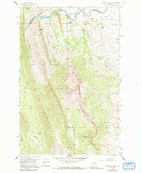
1958 Map of Sawtooth Ridge
USGS Topo · Published 1992About this map
The North Fork Sun River carves through this portion of the Lewis and Clark National Forest, where water management infrastructure meets the high ridges of the Montana front. The Diversion Dam and Diversion Lake serve as key points for the Pishkun Canal and Willow Creek Feeder Canal, illustrating the mid-century engineering used to divert mountain runoff toward the eastern plains.
Find a feature on this map
37 named features on this map. Tap any name to fly to it.
Don’t see what you’re looking for? This feature index may not catch every label — zoom into the map to look around manually.
Map Details
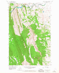
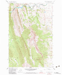
Editions of this 1958 Sawtooth Ridge Map
4 editions found
Other maps of this area

1903 · Saypo
USGS Topo · 1:125,000

1903 · Coopers Lake
USGS Topo · 1:125,000

1955 · Choteau
USGS Topo · 1:250,000

1957 · Choteau
USGS Topo · 1:250,000

1958 · Choteau
USGS Topo · 1:250,000

1958 · Barr Creek
USGS Topo · 1:24,000

1958 · Sawtooth Ridge
USGS Topo · 1:24,000

1958 · Patricks Basin
USGS Topo · 1:24,000

1958 · Castle Reef
USGS Topo · 1:24,000
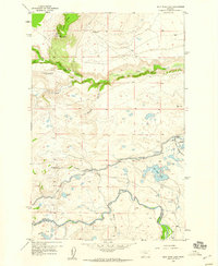
1958 · Split Rock Lake
USGS Topo · 1:24,000