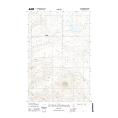
2017 Map of Nilan Reservoir
USGS Topo · Published 2017About this map
Nilan Reservoir and the adjacent mountain front in Lewis and Clark County define this 2017 landscape. This section of the Rocky Mountain front shows a transition from high-plains water management to steep alpine terrain, anchored by the prominent Haystack Butte and the narrow passage of Swallow Canyon. The drainage network is dense and complex, with Smith Cr, Willow Cr, and Ford Cr carving through the foothills toward the reservoir. Local ranching access is evidenced by the presence of Lf Ranch Rd and Benchmark Rd, which follow the natural contours of the land. Further south, Smith Lake and the winding course of Goss Cr illustrate the vital water resources that have shaped land use in this part of Montana for generations.
Find a feature on this map
20 named features on this map. Tap any name to fly to it.
Don’t see what you’re looking for? This feature index may not catch every label — zoom into the map to look around manually.
Map Details
Editions of this 2017 Nilan Reservoir Map
This is the sole edition of this map. No revisions or reprints were ever made.
Other maps of this area

1903 · Saypo
USGS Topo · 1:125,000

1903 · Coopers Lake
USGS Topo · 1:125,000

1920 · Choteau
USGS Topo · 1:125,000

1943 · Hogan
USGS Topo · 1:125,000

1955 · Choteau
USGS Topo · 1:250,000

1957 · Choteau
USGS Topo · 1:250,000

1958 · Choteau
USGS Topo · 1:250,000

1958 · Barr Creek
USGS Topo · 1:24,000

1958 · Sawtooth Ridge
USGS Topo · 1:24,000

1960 · Gilman
USGS Topo · 1:62,500