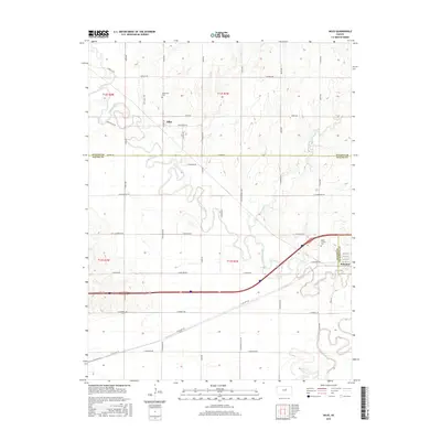
2015 Map of Niles
USGS Topo · Published 2015About this map
The Solomon River meanders through this north-central Kansas landscape, defining the rural character of the borderlands between Ottawa, Saline, and Dickinson Counties. The small community of Niles sits along the northern banks, serving as a focal point for the surrounding agricultural grid. Further south, the town of Solomon occupies the junction near where the river approaches its confluence with the Smoky Hill River.
Find a feature on this map
47 named features on this map. Tap any name to fly to it.
Don’t see what you’re looking for? This feature index may not catch every label — zoom into the map to look around manually.
Map Details
Editions of this 2015 Niles Map
This is the sole edition of this map. No revisions or reprints were ever made.
Other maps of this area
1889 · Abilene
USGS Topo · 1:125,000
1891 · Clay Center
USGS Topo · 1:125,000
1892 · Salina
USGS Topo · 1:125,000
1892 · Minneapolis
USGS Topo · 1:125,000
1894 · Abilene
USGS Topo · 1:125,000
1942 · Salina
USGS Topo · 1:125,000
1955 · Salina
USGS Topo · 1:24,000
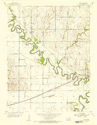
1955 · Niles
USGS Topo · 1:24,000
1955 · New Cambria
USGS Topo · 1:24,000
1955 · Kipp
USGS Topo · 1:24,000