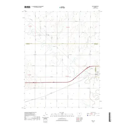
2018 Map of Niles
USGS Topo · Published 2018About this map
The Solomon River meanders across this landscape, defining the character of the small settlements of Niles and Solomon. In the northern portion of the map, the community of Niles is situated near the riverbanks, with the nearby Greenville Cem serving as a primary local landmark for genealogical research. The river valley is a network of section roads like Arrowhead Rd and Aspen Rd, which link the various agricultural plots that have long sustained the region.
Find a feature on this map
30 named features on this map. Tap any name to fly to it.
Don’t see what you’re looking for? This feature index may not catch every label — zoom into the map to look around manually.
Map Details
Editions of this 2018 Niles Map
This is the sole edition of this map. No revisions or reprints were ever made.
Other maps of this area

1889 · Abilene
USGS Topo · 1:125,000

1891 · Clay Center
USGS Topo · 1:125,000

1892 · Salina
USGS Topo · 1:125,000

1892 · Minneapolis
USGS Topo · 1:125,000

1894 · Abilene
USGS Topo · 1:125,000

1942 · Salina
USGS Topo · 1:125,000

1955 · Salina
USGS Topo · 1:24,000

1955 · Niles
USGS Topo · 1:24,000

1955 · New Cambria
USGS Topo · 1:24,000

1955 · Kipp
USGS Topo · 1:24,000