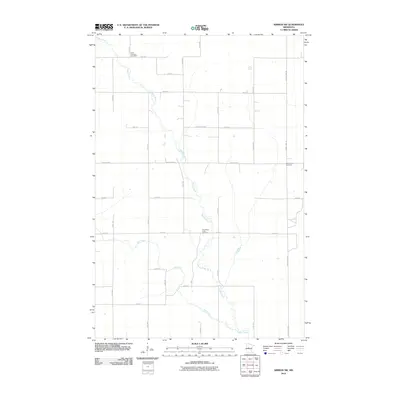
2010 Map of Nimrod SW
USGS Topo · Published 2010About this map
The Redeye River meanders southward through this section of Wadena County, joined by the winding course of Hay Creek. This landscape is defined by its rural character and the conservation lands of the Lyons State Frst, which occupies a significant portion of the central terrain. The map serves as a vital resource for genealogists, clearly marking several historical burial grounds including the North Germany Cemetery in the north and the Wing River Union Cemetery further south. A network of local roads and county highways, such as County Hwy-9 and County Hwy-26, provides access to these remote reaches. The survey detail illustrates a land of dispersed farmsteads and natural drainage patterns, characteristic of central Minnesota's woodland and agricultural interface during the early 21st century.
Find a feature on this map
25 named features on this map. Tap any name to fly to it.
Don’t see what you’re looking for? This feature index may not catch every label — zoom into the map to look around manually.
Map Details
Editions of this 2010 Nimrod SW Map
This is the sole edition of this map. No revisions or reprints were ever made.
Other maps of this area

1953 · Brainerd
USGS Topo · 1:250,000

1957 · Brainerd
USGS Topo · 1:250,000

1958 · Brainerd
USGS Topo · 1:250,000

1965 · Brainerd
USGS Topo · 1:250,000

1966 · Staples NE
USGS Topo · 1:24,000

1966 · Aldrich North
USGS Topo · 1:24,000

1969 · Sebeka
USGS Topo · 1:24,000

1969 · Verndale
USGS Topo · 1:24,000
1969 · Blue Grass
USGS Topo · 1:24,000
1969 · Nimrod SW
USGS Topo · 1:24,000