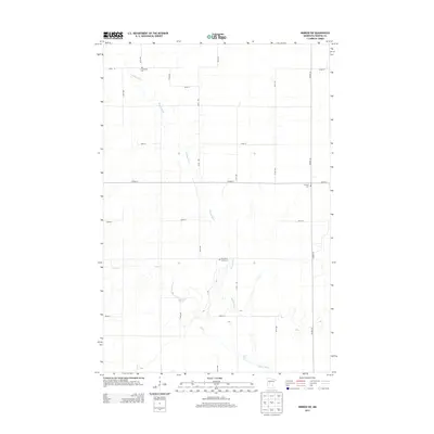
2013 Map of Nimrod SW
USGS Topo · Published 2013About this map
The Redeye River meanders southward through this rural portion of Wadena County, joined by the waters of Hay Cr in the western reaches. This 2013 survey illustrates a landscape primarily organized by a strict sectional road grid, including routes such as 181st Ave and 270th St. For the local historian or genealogist, the map preserves the locations of several community burial grounds that anchor the area's pioneer heritage, including N Germany Cem in the north and the Wing River Union Cem further south. The transportation network is defined by significant county corridors like Co Hwy-9 and Co Hwy-26, which intersect the smaller gravel and dirt paths that connect the region's agricultural homesteads. The terrain is characterized by subtle elevation changes and wetland pockets adjacent to the primary river system.
Find a feature on this map
20 named features on this map. Tap any name to fly to it.
Don’t see what you’re looking for? This feature index may not catch every label — zoom into the map to look around manually.
Map Details
Editions of this 2013 Nimrod SW Map
This is the sole edition of this map. No revisions or reprints were ever made.
Other maps of this area

1953 · Brainerd
USGS Topo · 1:250,000

1957 · Brainerd
USGS Topo · 1:250,000

1958 · Brainerd
USGS Topo · 1:250,000

1965 · Brainerd
USGS Topo · 1:250,000

1966 · Staples NE
USGS Topo · 1:24,000

1966 · Aldrich North
USGS Topo · 1:24,000

1969 · Sebeka
USGS Topo · 1:24,000

1969 · Verndale
USGS Topo · 1:24,000
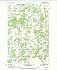
1969 · Blue Grass
USGS Topo · 1:24,000
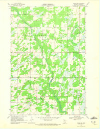
1969 · Nimrod SW
USGS Topo · 1:24,000