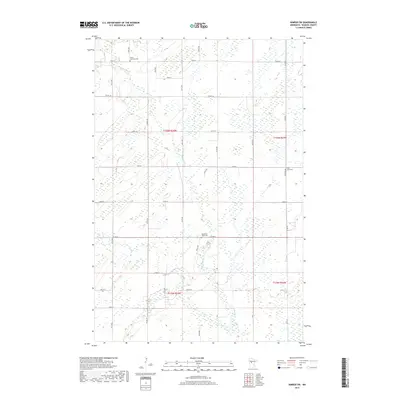
2019 Map of Nimrod SW
USGS Topo · Published 2019About this map
The Redeye River winds through this section of Wadena County, carving a serpentine path across a landscape defined by extensive wetlands and seasonal watercourses. This 2019 survey documents a rural environment where human settlement is sparsely distributed along a grid of county roads, such as Co Hwy 10 and Co Hwy 8. The area's social history is preserved in its local burial grounds, including the North Germany Cem in the northwest and West Lyons Cem near the eastern border. These sites, along with the Wing River Union Cem, provide important anchor points for genealogical research in this part of Minnesota. The confluence of Hay Creek and the main river reflects the traditional drainage patterns that have shaped land use and road placement throughout the townships.
Find a feature on this map
20 named features on this map. Tap any name to fly to it.
Don’t see what you’re looking for? This feature index may not catch every label — zoom into the map to look around manually.
Map Details
Editions of this 2019 Nimrod SW Map
This is the sole edition of this map. No revisions or reprints were ever made.
Other maps of this area

1953 · Brainerd
USGS Topo · 1:250,000

1957 · Brainerd
USGS Topo · 1:250,000

1958 · Brainerd
USGS Topo · 1:250,000

1965 · Brainerd
USGS Topo · 1:250,000

1966 · Staples NE
USGS Topo · 1:24,000

1966 · Aldrich North
USGS Topo · 1:24,000

1969 · Sebeka
USGS Topo · 1:24,000

1969 · Verndale
USGS Topo · 1:24,000
1969 · Blue Grass
USGS Topo · 1:24,000
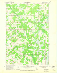
1969 · Nimrod SW
USGS Topo · 1:24,000