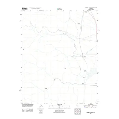
2012 Map of Ninemile Canyon
USGS Topo · Published 2012About this map
The Los Angeles Aqueduct and Second Los Angeles Aqueduct dominate this 2012 Kern County survey, tracing parallel paths across the eastern Sierra Nevada foothills. These monumental water projects navigate a complex network of dry washes and high-altitude terrain, including Ninemile Canyon and Fivemile Canyon. The landscape is defined by its dramatic relief, with prominent summits like Sawtooth Peak and Boulder Peak providing navigational landmarks above the desert floor.
Find a feature on this map
16 named features on this map. Tap any name to fly to it.
Don’t see what you’re looking for? This feature index may not catch every label — zoom into the map to look around manually.
Map Details
Editions of this 2012 Ninemile Canyon Map
This is the sole edition of this map. No revisions or reprints were ever made.
Other maps of this area

1906 · Kernville
USGS Topo · 1:125,000

1908 · Kernville
USGS Topo · 1:125,000

1915 · Searles Lake
USGS Topo · 1:250,000

1943 · Inyokern
USGS Topo · 1:62,500

1943 · Onyx
USGS Topo · 1:62,500

1947 · Trona
USGS Topo · 1:250,000

1948 · Trona
USGS Topo · 1:250,000

1948 · Bakersfield
USGS Topo · 1:250,000

1953 · Trona
USGS Topo · 1:250,000

1954 · Little Lake
USGS Topo · 1:62,500