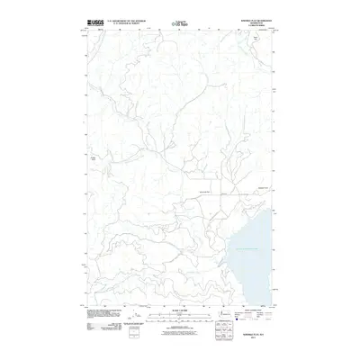
2011 Map of Ninemile Flat
USGS Topo · Published 2011About this map
Franklin D Roosevelt Lake dominates the southeastern quadrant of this landscape, defining the local topography and drainage patterns during the early 21st century. The map illustrates a network of waterways that feed into the reservoir, including Ninemile Creek and Canteen Creek, which carve through the terrain to reach the lake's edge. The settlement of Ninemile sits at a critical junction where the upland flats meet the water, serving as a focal point for local transit via the Ninemile-Hellgate Rd.
Find a feature on this map
17 named features on this map. Tap any name to fly to it.
Don’t see what you’re looking for? This feature index may not catch every label — zoom into the map to look around manually.
Map Details
Editions of this 2011 Ninemile Flat Map
This is the sole edition of this map. No revisions or reprints were ever made.
Other maps of this area

1948 · Wilbur
USGS Topo · 1:62,500

1948 · Wilmont Creek
USGS Topo · 1:62,500

1948 · Lincoln
USGS Topo · 1:62,500

1950 · Lincoln
USGS Topo · 1:62,500

1950 · Wilmont Creek
USGS Topo · 1:62,500

1950 · Wilbur
USGS Topo · 1:62,500

1952 · Keller
USGS Topo · 1:62,500

1953 · Ritzville
USGS Topo · 1:250,000

1954 · Okanogan
USGS Topo · 1:250,000

1956 · Wilmont Creek
USGS Topo · 1:62,500