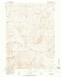
1958 Map of Ninemile Hill
USGS Topo · Published 1960About this map
The arid ranching and resource landscape of Fremont County is defined by a complex network of ephemeral drainages and vital water catchments in the late 1950s. Lander Valley Reservoir and Gustin Reservoir serve as critical landmarks in this high-desert terrain, supporting livestock and early industrial efforts in a region where water management was paramount. The geography is punctuated by prominent elevations such as Monument Butte and the namesake Ninemile Hill, which overlook a series of family-named catchments including Hopkins Reservoir and Charlies Reservoir.
Find a feature on this map
25 named features on this map. Tap any name to fly to it.
Don’t see what you’re looking for? This feature index may not catch every label — zoom into the map to look around manually.
Map Details
Editions of this 1958 Ninemile Hill Map
2 editions found
Other maps of this area

1952 · Hudson
USGS Topo · 1:24,000

1952 · Lander SE
USGS Topo · 1:24,000

1953 · Arapahoe NE
USGS Topo · 1:24,000

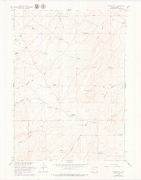
1953 · Ninemile Hill
USGS Topo · 1:24,000

1953 · Bringolf Ranch
USGS Topo · 1:24,000

1953 · Arapahoe
USGS Topo · 1:24,000

1953 · Del Monte Ridge
USGS Topo · 1:24,000

1953 · Yellowstone Ranch
USGS Topo · 1:24,000

1953 · Weiser Pass
USGS Topo · 1:24,000

1955 · Lander
USGS Topo · 1:250,000