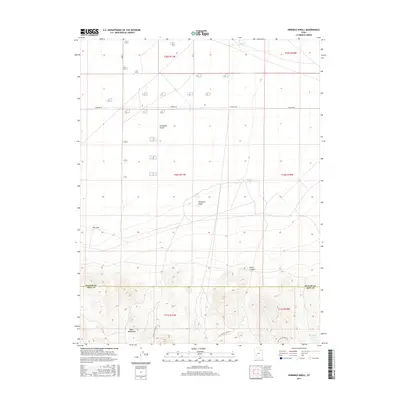
2017 Map of Ninemile Knoll
USGS Topo · Published 2017About this map
Escalante Desert terrain and the arid uplands of the Black Mountains meet in this southwestern Utah landscape, where the elevation rises sharply across the Beaver County and Iron County line. The northern portion of the map is dominated by the flat, high-desert floor, marked by isolated water features such as Cactus Pond, Mound Pond, and Sand Pond. This desert expanse is bisected by Thermal Rd, reflecting the area's utility and infrastructure development.
Find a feature on this map
19 named features on this map. Tap any name to fly to it.
Don’t see what you’re looking for? This feature index may not catch every label — zoom into the map to look around manually.
Map Details
Editions of this 2017 Ninemile Knoll Map
This is the sole edition of this map. No revisions or reprints were ever made.
Other maps of this area

1885 · Beaver
USGS Topo · 1:250,000

1953 · Ninemile Knoll
USGS Topo · 1:24,000

1953 · Milford Flat
USGS Topo · 1:24,000

1953 · Minersville
USGS Topo · 1:24,000

1953 · Cave Canyon
USGS Topo · 1:24,000

1953 · Richfield
USGS Topo · 1:250,000

1958 · Richfield
USGS Topo · 1:250,000

1958 · Minersville
USGS Topo · 1:62,500

1958 · Thermo
USGS Topo · 1:62,500

1958 · Milford
USGS Topo · 1:62,500