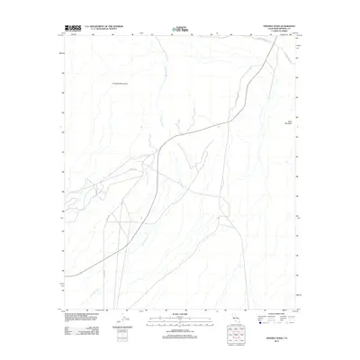
2012 Map of Ninemile Wash
USGS Topo · Published 2012About this map
Ninemile Wash drains through this arid corridor of the Imperial Valley, carving a distinct hydrological path between the high peaks of the Chocolate Mountains and Black Mountain. This early 21st-century landscape is defined by a sparse network of service roads and mining tracks, including Vista Mine Rd and Zappone Rd, which hint at the mineral extraction history of this desert region. The map captures the intersection of critical transit routes like Blythe-Ogilby Rd and Imperial Gables Rd, illustrating how modern infrastructure navigates the complex alluvial fans and natural drainage systems of the California desert. The absence of formal town sites emphasizes the remote industrial and natural character of the area.
Find a feature on this map
8 named features on this map. Tap any name to fly to it.
Don’t see what you’re looking for? This feature index may not catch every label — zoom into the map to look around manually.
Map Details
Editions of this 2012 Ninemile Wash Map
This is the sole edition of this map. No revisions or reprints were ever made.
Other maps of this area

1903 · Yuma
USGS Topo · 1:125,000

1905 · Yuma
USGS Topo · 1:125,000

1907 · Holtville
USGS Topo · 1:125,000

1942 · El Centro
USGS Topo · 1:250,000

1942 · Yuma
USGS Topo · 1:250,000

1942 · Blythe
USGS Topo · 1:250,000

1953 · Quartz Peak
USGS Topo · 1:62,500

1953 · Ogilby
USGS Topo · 1:62,500

1953 · Acolita
USGS Topo · 1:62,500

1954 · El Centro
USGS Topo · 1:250,000