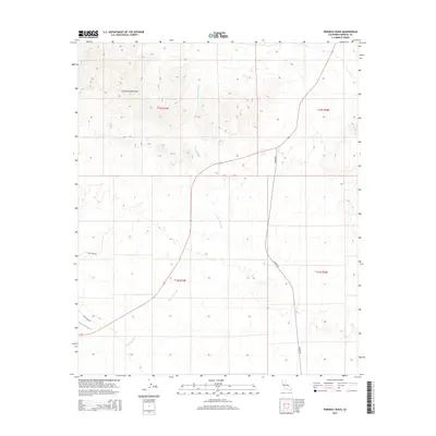
2015 Map of Ninemile Wash
USGS Topo · Published 2015About this map
The Chocolate Mountains dominate the northern landscape of this Imperial County desert terrain, where steep ridges give way to the broad alluvial plains of the Ninemile Wash. This 2015 survey reveals a stark, arid environment defined by seasonal drainage patterns and sparse infrastructure. The wash itself bisects the quadrangle, serving as the primary natural corridor through which water travels during infrequent desert storms.
Find a feature on this map
8 named features on this map. Tap any name to fly to it.
Don’t see what you’re looking for? This feature index may not catch every label — zoom into the map to look around manually.
Map Details
Editions of this 2015 Ninemile Wash Map
This is the sole edition of this map. No revisions or reprints were ever made.
Other maps of this area

1903 · Yuma
USGS Topo · 1:125,000

1905 · Yuma
USGS Topo · 1:125,000

1907 · Holtville
USGS Topo · 1:125,000

1942 · El Centro
USGS Topo · 1:250,000

1942 · Yuma
USGS Topo · 1:250,000

1942 · Blythe
USGS Topo · 1:250,000

1953 · Quartz Peak
USGS Topo · 1:62,500

1953 · Ogilby
USGS Topo · 1:62,500

1953 · Acolita
USGS Topo · 1:62,500

1954 · El Centro
USGS Topo · 1:250,000