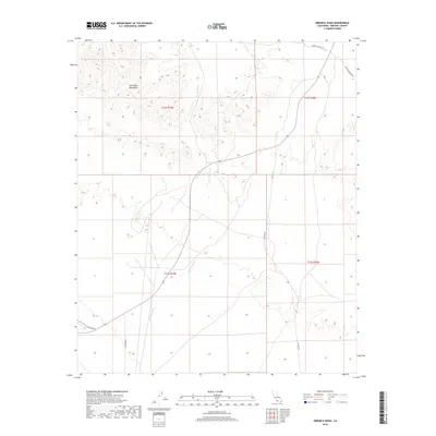
2018 Map of Ninemile Wash
USGS Topo · Published 2018About this map
The Chocolate Mountains dominate the northwestern corner of this Imperial County landscape, their elevations giving way to the complex drainage patterns of the desert floor. Most prominent is Ninemile Wash, which flows southward across the quadrangle, carving a wide path through the arid terrain. The map documents a sparse network of access routes that hint at the region's industrial and recreational history. Roads such as Gfoc-Mine Rd and Vista Mine Rd suggest a history of mineral exploration and transit through these foothills. To the east, Co Hwy S34 provides a primary north-south corridor, connecting with Imperial Gables Rd as the terrain levels out toward the edge of the range.
Find a feature on this map
11 named features on this map. Tap any name to fly to it.
Don’t see what you’re looking for? This feature index may not catch every label — zoom into the map to look around manually.
Map Details
Editions of this 2018 Ninemile Wash Map
This is the sole edition of this map. No revisions or reprints were ever made.
Other maps of this area

1903 · Yuma
USGS Topo · 1:125,000

1905 · Yuma
USGS Topo · 1:125,000

1907 · Holtville
USGS Topo · 1:125,000

1942 · El Centro
USGS Topo · 1:250,000

1942 · Yuma
USGS Topo · 1:250,000

1942 · Blythe
USGS Topo · 1:250,000

1953 · Quartz Peak
USGS Topo · 1:62,500

1953 · Ogilby
USGS Topo · 1:62,500

1953 · Acolita
USGS Topo · 1:62,500

1954 · El Centro
USGS Topo · 1:250,000