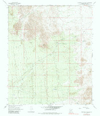
1966 Map of Ninetysix Hills SE
USGS Topo · Published 1983About this map
Coyote Peak dominates the central landscape of this Pinal County region, where the rugged topography of the Ninetysix Hills gives way to a network of desert drainages. This 1966 survey, photoinspected in the late 1970s, captures a working desert environment defined by ranching infrastructure and seasonal water management. Features like Coyote Ranch and a single Prospect indicate the sparse but deliberate human presence in this arid terrain.
Find a feature on this map
17 named features on this map. Tap any name to fly to it.
Don’t see what you’re looking for? This feature index may not catch every label — zoom into the map to look around manually.
Map Details
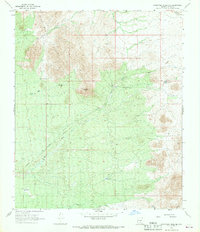
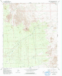
Editions of this 1966 Ninetysix Hills SE Map
3 editions found
Other maps of this area

1911 · Winkelman
USGS Topo · 1:125,000

1913 · Winkelman
USGS Topo · 1:125,000

1934 · Newman Peak
USGS Topo · 1:125,000

1949 · Crozier Peak
USGS Topo · 1:24,000

1949 · Winkelman
USGS Topo · 1:62,500

1949 · Black Mountain
USGS Topo · 1:24,000
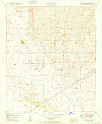
1950 · Crozier Peak
USGS Topo · 1:24,000
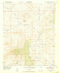
1950 · Black Mountain
USGS Topo · 1:24,000
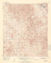
1951 · Winkelman
USGS Topo · 1:62,500

1956 · Tucson
USGS Topo · 1:250,000