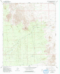
1966 Map of Ninetysix Hills SE
USGS Topo · Published 1993About this map
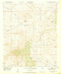
Ninetysix Hills dominate this Pinal County landscape, providing a complex terrain of ridges and drainage systems centered on Coyote Peak. The area is defined by its arid-land infrastructure, where a network of water features like Middle Tank, Buck Tank, and South Tank support the ranching operations of the 96 Ranch and Coyote Ranch. A notable aspect of the local geography is the naming of the Tom Mix Wash, referencing the legendary silent film star who owned a ranch in this region. This mid-century survey captures the early transportation routes of Freeman Road and Smoke Road, as well as a long-distance Pipeline cutting through the desert. Small-scale industrial activity is evidenced by a solitary Prospect in the southwest corner, while the complex braided channels of Brady Wash and Bogard Wash illustrate the active desert hydrology of the era.
Find a feature on this map
18 named features on this map. Tap any name to fly to it.
Don’t see what you’re looking for? This feature index may not catch every label — zoom into the map to look around manually.
Map Details
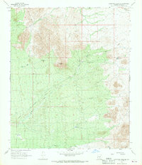
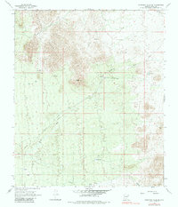
Editions of this 1966 Ninetysix Hills SE Map
3 editions found
Other maps of this area

1911 · Winkelman
USGS Topo · 1:125,000

1913 · Winkelman
USGS Topo · 1:125,000

1934 · Newman Peak
USGS Topo · 1:125,000

1949 · Crozier Peak
USGS Topo · 1:24,000

1949 · Winkelman
USGS Topo · 1:62,500

1949 · Black Mountain
USGS Topo · 1:24,000
1950 · Crozier Peak
USGS Topo · 1:24,000
1950 · Black Mountain
USGS Topo · 1:24,000
1951 · Winkelman
USGS Topo · 1:62,500

1956 · Tucson
USGS Topo · 1:250,000