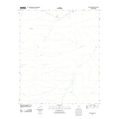
2011 Map of Putnam Wash
USGS Topo · Published 2011About this map
Antelope Peak stands as a prominent topographical anchor in this arid Pinal County landscape, which is defined by an intricate network of seasonal drainages and water management points. Remote desert ranching operations are centered at Cactus Hill Ranch in the north and Tunnel Ranch along the lower reaches of Camp Grant Wash. The reliance on scarce water resources is evident through named features like Putnam Spring and several cattle tanks, including Antelope Tank and Mountain View Tank. Transportation is limited to a few primitive routes such as Freeman Rd, while the terrain is carved by substantial arroyos including Putnam Wash, Bloodsucker Wash, and Palmer Wash. This 2011 survey illustrates the continued importance of ranching infrastructure and natural landmarks in a sparsely populated region of the Arizona desert.
Find a feature on this map
16 named features on this map. Tap any name to fly to it.
Don’t see what you’re looking for? This feature index may not catch every label — zoom into the map to look around manually.
Map Details
Editions of this 2011 Putnam Wash Map
This is the sole edition of this map. No revisions or reprints were ever made.
Other maps of this area

1911 · Winkelman
USGS Topo · 1:125,000

1913 · Winkelman
USGS Topo · 1:125,000

1948 · Mammoth
USGS Topo · 1:62,500

1948 · Mammoth
USGS Topo · 1:24,000

1949 · Mammoth
USGS Topo · 1:24,000

1949 · Holy Joe Peak
USGS Topo · 1:62,500

1949 · Crozier Peak
USGS Topo · 1:24,000

1949 · Winkelman
USGS Topo · 1:24,000

1949 · Winkelman
USGS Topo · 1:62,500

1949 · Saddle Mtn.
USGS Topo · 1:24,000