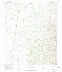
1966 Map of Florence NE
USGS Topo · Published 1974About this map
The Magma Arizona corridor and a network of water management features dominate this desert landscape northeast of Florence during the mid-1960s. The terrain is defined by its arid functionality, featuring an array of livestock or industrial watering points such as Mormon Tank, El Molino Tank, and Superior Tank. Human activity is marked by infrastructure like a Landing Strip and multiple wells, including Desert Well No 1 and Desert Well No 2, which supported the region's ranching or mineral interests. To the east, the topography shifts into the more complex elevations of Cottonwood Canyon, while localized rises like Black Hill and Dozer Hill punctuate the western flats. A prominent Pipeline and various Jeep Trail routes provide a clear record of 20th-century utility and access through this Pinal County territory.
Find a feature on this map
20 named features on this map. Tap any name to fly to it.
Don’t see what you’re looking for? This feature index may not catch every label — zoom into the map to look around manually.
Map Details
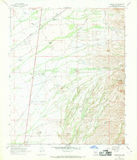
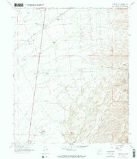
Editions of this 1966 Florence NE Map
3 editions found
Other maps of this area

1900 · Florence
USGS Topo · 1:125,000

1902 · Florence
USGS Topo · 1:125,000

1948 · Superior
USGS Topo · 1:62,500

1948 · Picketpost Mtn
USGS Topo · 1:24,000

1949 · Picketpost Mtn
USGS Topo · 1:24,000

1954 · Mesa
USGS Topo · 1:250,000

1956 · Magma
USGS Topo · 1:24,000
1956 · Superstition Mts. SW
USGS Topo · 1:24,000

1957 · Mesa
USGS Topo · 1:250,000

1958 · Mesa
USGS Topo · 1:250,000