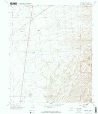
1966 Map of Florence NE
USGS Topo · Published 1974About this map
The Magma Arizona railroad corridor anchors this arid Pinal County landscape, cutting a straight path through the desert basin as it was mapped in the mid-1960s. This region is defined by its critical water infrastructure, necessary for ranching and industry, evidenced by a network of catchments and wells including Mormon Tank, Superior Tank, and Deep Well Tank. To the west, a Landing Strip and the industrial activity of a Gravel Pit suggest a remote but active work site, while a long-distance Pipeline traverses the terrain from northwest to southeast.
Find a feature on this map
23 named features on this map. Tap any name to fly to it.
Don’t see what you’re looking for? This feature index may not catch every label — zoom into the map to look around manually.
Map Details
Editions of this 1966 Florence NE Map
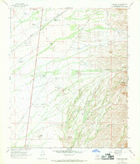
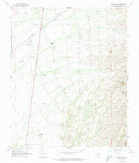
3 editions found
Other maps of this area

1900 · Florence
USGS Topo · 1:125,000

1902 · Florence
USGS Topo · 1:125,000

1948 · Superior
USGS Topo · 1:62,500

1948 · Picketpost Mtn
USGS Topo · 1:24,000

1949 · Picketpost Mtn
USGS Topo · 1:24,000

1954 · Mesa
USGS Topo · 1:250,000

1956 · Magma
USGS Topo · 1:24,000
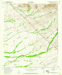
1956 · Superstition Mts. SW
USGS Topo · 1:24,000

1957 · Mesa
USGS Topo · 1:250,000

1958 · Mesa
USGS Topo · 1:250,000