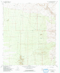
1966 Map of Ninetysix Hills NW
USGS Topo · Published 1993About this map
Allens Peak and the high ridges of the Ninetysix Hills dominate this arid landscape in central Pinal County, where survival was historically dictated by access to water. The map documents a network of critical watering points scattered across the desert terrain, such as Middle Mtn Tank, Rincon Tank, and Half Moon Tank. These features, along with several others including Coyote Tank and Burro Flaco Tank, illustrate the importance of water management for livestock in this environment during the mid-20th century.
Find a feature on this map
19 named features on this map. Tap any name to fly to it.
Don’t see what you’re looking for? This feature index may not catch every label — zoom into the map to look around manually.
Map Details
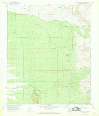
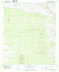
Editions of this 1966 Ninetysix Hills NW Map
3 editions found
Other maps of this area

1900 · Florence
USGS Topo · 1:125,000

1902 · Florence
USGS Topo · 1:125,000

1922 · Red Rock No 2
USGS Topo · 1:48,000

1934 · Newman Peak
USGS Topo · 1:125,000

1954 · Mesa
USGS Topo · 1:250,000

1956 · Tucson
USGS Topo · 1:250,000

1957 · Mesa
USGS Topo · 1:250,000

1958 · Mesa
USGS Topo · 1:250,000

1958 · Tucson
USGS Topo · 1:250,000

1959 · Tucson
USGS Topo · 1:250,000