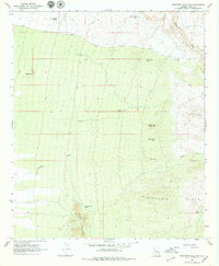
1966 Map of Ninetysix Hills NW
USGS Topo · Published 1979About this map
Arid grazing and mining terrain dominates this mid-1960s survey of Pinal County, where water management is the primary sign of human adaptation. The landscape is defined by the Ninetysix Hills and Middle Mountain, with drainage patterns established by Paisano Wash and Box O Wash. Ranching infrastructure is everywhere, evidenced by numerous catchment basins such as Rincon Tank, Half Moon Tank, and Burro Flaco Tank. Evidence of industrial activity appears at the Mine Shaft Windmill, a specific point of interest for those studying early extraction efforts in the region. The topography rises toward Allens Peak, providing a clear view of the complex desert relief between the Cat Hills and the Box O Hills. This survey is a record of a remote desert environment before modern expansion, where survival depended on the strategic placement of wells and livestock tanks.
Find a feature on this map
19 named features on this map. Tap any name to fly to it.
Don’t see what you’re looking for? This feature index may not catch every label — zoom into the map to look around manually.
Map Details
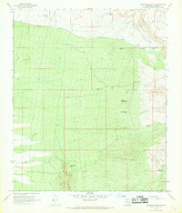
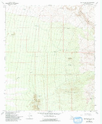
Editions of this 1966 Ninetysix Hills NW Map
3 editions found
Other maps of this area

1900 · Florence
USGS Topo · 1:125,000

1902 · Florence
USGS Topo · 1:125,000

1922 · Red Rock No 2
USGS Topo · 1:48,000

1934 · Newman Peak
USGS Topo · 1:125,000

1954 · Mesa
USGS Topo · 1:250,000

1956 · Tucson
USGS Topo · 1:250,000

1957 · Mesa
USGS Topo · 1:250,000

1958 · Mesa
USGS Topo · 1:250,000

1958 · Tucson
USGS Topo · 1:250,000

1959 · Tucson
USGS Topo · 1:250,000