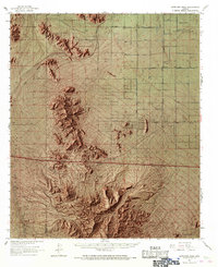
1963 Map of Antelope Peak
USGS Topo · Published 1968About this map
Antelope Peak stands as the central landmark of this Arizona desert landscape, surrounded by the dramatic terrain of the Vekol Mountains and the Antelope Mountains. To the north, the Papago Indian Reservation encompasses a large portion of the area, featuring a sparse network of roads like Papago Road and Williams Road that service various wells across the flat Hidden Valley. A notable infrastructural detail is the highway running east-to-west near the center of the sheet, labeled as Under Construction during this mid-century period. This corridor includes a Roadside Rest and connects to Stanfield Road. The desert floor is carved by drainage systems like Vekol Wash and Hidden Valley Wash, while small peaks such as Passage Butte, Indian Butte, and Needle Peak break the horizon. Local ranching and transport are evidenced by the A K Ranch and a remote Landing Strip near the Maricopa County line.
Find a feature on this map
28 named features on this map. Tap any name to fly to it.
Don’t see what you’re looking for? This feature index may not catch every label — zoom into the map to look around manually.
Map Details
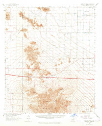
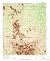
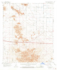
Editions of this 1963 Antelope Peak Map
4 editions found
Other maps of this area

1913 · Maricopa
USGS Topo · 1:62,500

1914 · Gila Butte
USGS Topo · 1:62,500

1915 · Maricopa
USGS Topo · 1:62,500

1917 · Gila Butte
USGS Topo · 1:62,500

1922 · Casa Grande
USGS Topo · 1:62,500

1924 · Casa Grande
USGS Topo · 1:62,500

1941 · Vekol Mountains
USGS Topo · 1:62,500

1942 · Silver Reef Mountains
USGS Topo · 1:62,500

1942 · Vekol Mountains
USGS Topo · 1:62,500

1946 · Antelope Peak
USGS Topo · 1:62,500