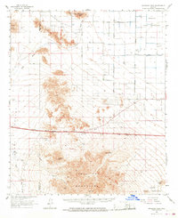
1963 Map of Antelope Peak
USGS Topo · Published 1968About this map
Table Top Mountains dominate the southern landscape of this Pinal County territory, rising sharply above the expansive Vekol Valley. The terrain is defined by its arid drainage systems, notably the braided paths of Vekol Wash and Hidden Valley Wash which cut through the desert floor. This 1963 revision reveals a region in transition, evidenced by a major roadway and utility corridor labeled Under Construction stretching across the central plain. Settlement is sparse, anchored by the A K Ranch and a lone Roadside Rest along the highway. To the north and south, the map details the boundaries and topography within the Maricopa Indian Reservation and the Papago Indian Reservation. Local industrial activity is limited to scattered Gravel Pits and various Prospects tucked into the foothills near Table Top and Antelope Peak.
Find a feature on this map
32 named features on this map. Tap any name to fly to it.
Don’t see what you’re looking for? This feature index may not catch every label — zoom into the map to look around manually.
Map Details
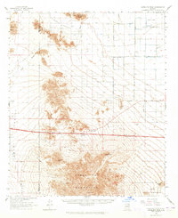
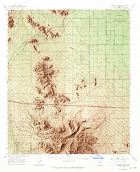
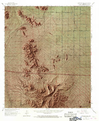
Editions of this 1963 Antelope Peak Map
4 editions found
Other maps of this area

1913 · Maricopa
USGS Topo · 1:62,500

1914 · Gila Butte
USGS Topo · 1:62,500

1915 · Maricopa
USGS Topo · 1:62,500

1917 · Gila Butte
USGS Topo · 1:62,500

1922 · Casa Grande
USGS Topo · 1:62,500

1924 · Casa Grande
USGS Topo · 1:62,500

1941 · Vekol Mountains
USGS Topo · 1:62,500

1942 · Silver Reef Mountains
USGS Topo · 1:62,500

1942 · Vekol Mountains
USGS Topo · 1:62,500

1946 · Antelope Peak
USGS Topo · 1:62,500