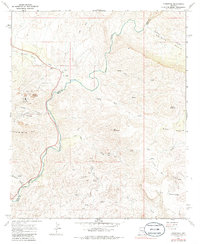
1968 Map of Christmas
USGS Topo · Published 1986About this map
The Christmas mining settlement and its industrial landscape dominate the western slopes of the Dripping Spring Mts in this late 1960s survey. Heavily marked by mid-century extraction, the terrain near Copper Canyon features extensive Tailings Ponds, a Conveyor system, and numerous mine workings. This industrial presence contrasts sharply with the winding Gila River, which carves a deep path through the center of the quadrangle, separating the mountainous western half from the elevated plateaus to the east.
Find a feature on this map
29 named features on this map. Tap any name to fly to it.
Don’t see what you’re looking for? This feature index may not catch every label — zoom into the map to look around manually.
Map Details
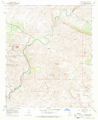
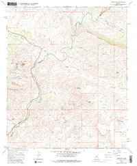
Editions of this 1968 Christmas Map
3 editions found
Other maps of this area

1910 · Ray
USGS Topo · 1:62,500

1911 · Winkelman
USGS Topo · 1:125,000

1913 · Winkelman
USGS Topo · 1:125,000

1915 · Christmas
USGS Topo · 1:62,500

1917 · Christmas
USGS Topo · 1:62,500

1949 · Holy Joe Peak
USGS Topo · 1:62,500

1949 · Winkelman
USGS Topo · 1:24,000

1949 · Winkelman
USGS Topo · 1:62,500

1949 · Saddle Mtn.
USGS Topo · 1:24,000

1949 · Brandenburg Mtn
USGS Topo · 1:24,000