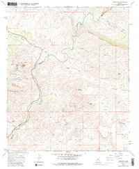
1968 Map of Christmas
USGS Topo · Published 1986About this map
The Christmas mining settlement and its associated industrial infrastructure define this portion of the Gila River valley in the late 1960s. Mining activity is prominent along the slopes of the Dripping Spring Mts, evidenced by Tailings Ponds, a Conveyor, and a large Water Tank. To the southeast, the landscape transitions into more isolated mining sites such as Pooles Mine and the Two Queens Mine near Gold Gulch.
Find a feature on this map
35 named features on this map. Tap any name to fly to it.
Don’t see what you’re looking for? This feature index may not catch every label — zoom into the map to look around manually.
Map Details
Editions of this 1968 Christmas Map
3 editions found
Other maps of this area

1910 · Ray
USGS Topo · 1:62,500

1911 · Winkelman
USGS Topo · 1:125,000

1913 · Winkelman
USGS Topo · 1:125,000

1915 · Christmas
USGS Topo · 1:62,500

1917 · Christmas
USGS Topo · 1:62,500

1949 · Holy Joe Peak
USGS Topo · 1:62,500

1949 · Winkelman
USGS Topo · 1:24,000

1949 · Winkelman
USGS Topo · 1:62,500

1949 · Saddle Mtn.
USGS Topo · 1:24,000

1949 · Brandenburg Mtn
USGS Topo · 1:24,000