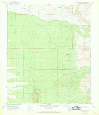
1966 Map of Ninetysix Hills NW
USGS Topo · Published 1969About this map
The Ninety Six Hills of Pinal County are defined by a network of seasonal water catchments and desert washes as they appeared in the mid-1960s. This arid landscape is punctuated by essential ranching and mining infrastructure, most notably the Mine Shaft Windmill situated near the center of the survey. The terrain transitions from the Cat Hills in the northwest toward the more prominent elevations of Allens Peak and Middle Mountain further south.
Find a feature on this map
19 named features on this map. Tap any name to fly to it.
Don’t see what you’re looking for? This feature index may not catch every label — zoom into the map to look around manually.
Map Details
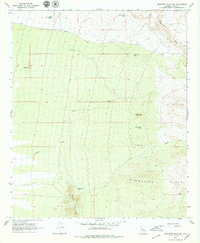
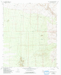
Editions of this 1966 Ninetysix Hills NW Map
3 editions found
Other maps of this area

1900 · Florence
USGS Topo · 1:125,000

1902 · Florence
USGS Topo · 1:125,000

1922 · Red Rock No 2
USGS Topo · 1:48,000

1934 · Newman Peak
USGS Topo · 1:125,000

1954 · Mesa
USGS Topo · 1:250,000

1956 · Tucson
USGS Topo · 1:250,000

1957 · Mesa
USGS Topo · 1:250,000

1958 · Mesa
USGS Topo · 1:250,000

1958 · Tucson
USGS Topo · 1:250,000

1959 · Tucson
USGS Topo · 1:250,000