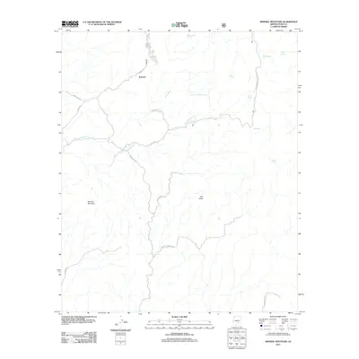
2011 Map of Mineral Mountain
USGS Topo · Published 2011About this map
The desert settlement of Reymert is the central point of interest in this 2011 survey of Pinal County, Arizona. Located at the northern end of Reymert Rd along the banks of Reymert Wash, this area is defined by a network of mining and utility roads that traverse the arid terrain. The landscape is marked by prominent geological features including the namesake Mineral Mountain and the distinctive Bell Butte, providing a detailed look at the local topography as it appeared in the early 21st century.
Find a feature on this map
22 named features on this map. Tap any name to fly to it.
Don’t see what you’re looking for? This feature index may not catch every label — zoom into the map to look around manually.
Map Details
Editions of this 2011 Mineral Mountain Map
This is the sole edition of this map. No revisions or reprints were ever made.
Other maps of this area

1900 · Florence
USGS Topo · 1:125,000

1902 · Florence
USGS Topo · 1:125,000

1948 · Superior
USGS Topo · 1:62,500

1948 · Superior
USGS Topo · 1:24,000

1948 · Picketpost Mtn
USGS Topo · 1:24,000

1949 · Superior
USGS Topo · 1:24,000

1949 · Picketpost Mtn
USGS Topo · 1:24,000

1954 · Mesa
USGS Topo · 1:250,000

1957 · Mesa
USGS Topo · 1:250,000

1958 · Mesa
USGS Topo · 1:250,000