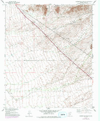
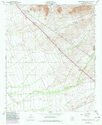
1956 Map of Superstition Mts. SW
USGS Topo · Published 1993About this map
Dinosaur Mtn towers over the northern terrain of this Pinal County landscape, marking the transition from high relief to the alluvial plains below. The map documents a mid-century infrastructure corridor where a major power line, a telephone line, and a highway numbered 89 converge near Navajo Station. This convergence of utilities and transportation illustrates the strategic importance of the corridor south of the mountains during Arizona's post-war growth period. Along the southern edge, the course of Queen Creek winds through the desert floor, while local land use is reflected in features like the RRR Ranch, a Trailer Park, and scattered mining Shafts. Large swaths of land are designated as a Game Restoration Area, indicating a focus on conservation and wildlife management alongside early rural development.
Find a feature on this map
12 named features on this map. Tap any name to fly to it.
Don’t see what you’re looking for? This feature index may not catch every label — zoom into the map to look around manually.
Map Details
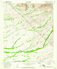
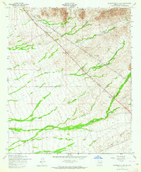
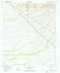
Editions of this 1956 Superstition Mts. SW Map
5 editions found
Other maps of this area

1900 · Florence
USGS Topo · 1:125,000

1902 · Florence
USGS Topo · 1:125,000

1904 · Desert Well
USGS Topo · 1:62,500

1906 · Desert Well
USGS Topo · 1:62,500

1907 · Sacaton
USGS Topo · 1:62,500

1954 · Mesa
USGS Topo · 1:250,000

1956 · Sacaton NE
USGS Topo · 1:24,000

1956 · Goldfield
USGS Topo · 1:24,000

1956 · Magma
USGS Topo · 1:24,000

1956 · Desert Well
USGS Topo · 1:24,000