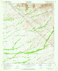
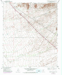
1956 Map of Superstition Mts. SW
USGS Topo · Published 1964About this map
Dinosaur Mtn dominates the northern skyline of this mid-1950s survey, marking a rugged transition into the high desert landscape of Pinal County. The map reveals a sparsely settled frontier characterized by utilitarian infrastructure, such as the prominent Telephone Line and Power Lines that traverse the arid terrain. Lowland activity is concentrated near water sources and transit points, including the RRR Ranch and Navajo Station. This area, mapped by the Army Map Service, shows early industrial marks with scattered Shafts and a Mine in the northeast, while the southern portion is defined by the broad wash of Queen Creek. The presence of an Abandoned road segment suggests a landscape in flux, where older desert tracks were already giving way to more modern alignments.
Find a feature on this map
10 named features on this map. Tap any name to fly to it.
Don’t see what you’re looking for? This feature index may not catch every label — zoom into the map to look around manually.
Map Details
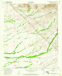
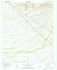
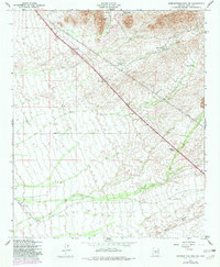
Editions of this 1956 Superstition Mts. SW Map
5 editions found
Other maps of this area

1900 · Florence
USGS Topo · 1:125,000

1902 · Florence
USGS Topo · 1:125,000

1904 · Desert Well
USGS Topo · 1:62,500

1906 · Desert Well
USGS Topo · 1:62,500

1907 · Sacaton
USGS Topo · 1:62,500

1954 · Mesa
USGS Topo · 1:250,000

1956 · Sacaton NE
USGS Topo · 1:24,000

1956 · Goldfield
USGS Topo · 1:24,000

1956 · Magma
USGS Topo · 1:24,000

1956 · Desert Well
USGS Topo · 1:24,000