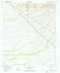
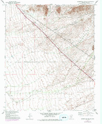
1956 Map of Superstition Mts. SW
USGS Topo · Published 1977About this map
Dinosaur Mtn anchors the northern landscape of this Pinal County territory, where the foothills of the Superstition Mountains meet the arid lowlands. Surveyed in the mid-1950s, the map reveals a sparsely settled region defined by massive infrastructure and land management. Heavy Power Lines and a Telephone Line slice diagonally across the terrain, passing through a string of surveyed benchmarks including the BM 1796 Scenic Marker. The presence of several Game Restoration Areas indicates early conservation efforts, while the intermittent flow of Queen Creek cuts through the southern sections. Local activity is concentrated at the RRR Ranch and Navajo Station, with mineral exploration evidenced by Shafts and a Mine located in the northeastern heights, illustrating the dual nature of the era's desert development between recreation, ranching, and resource extraction.
Find a feature on this map
19 named features on this map. Tap any name to fly to it.
Don’t see what you’re looking for? This feature index may not catch every label — zoom into the map to look around manually.
Map Details
Editions of this 1956 Superstition Mts. SW Map
5 editions found
Other maps of this area

1900 · Florence
USGS Topo · 1:125,000

1902 · Florence
USGS Topo · 1:125,000

1904 · Desert Well
USGS Topo · 1:62,500

1906 · Desert Well
USGS Topo · 1:62,500

1907 · Sacaton
USGS Topo · 1:62,500

1954 · Mesa
USGS Topo · 1:250,000

1956 · Sacaton NE
USGS Topo · 1:24,000

1956 · Goldfield
USGS Topo · 1:24,000

1956 · Magma
USGS Topo · 1:24,000

1956 · Desert Well
USGS Topo · 1:24,000