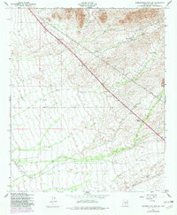
1956 Map of Superstition Mts. SW
USGS Topo · Published 1982About this map
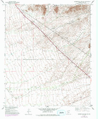
Dinosaur Mtn dominates the northern landscape of this Pinal County survey, rising above a desert floor characterized by seasonal drainages and early infrastructure. The map captures the mid-century development along U. S. Route 60, where a Trailer Park and a Scenic Marker cater to travelers moving through the Sonoran terrain. To the east, the map documents land use dedicated to conservation at the Game Restoration Area, while traces of industrial history appear in the far northeast corner near several Shafts and a Mine. In the south, the channel of Queen Creek cuts through the plains below Navajo Station, illustrating the relationship between water courses and the placement of early ranching and transport outposts like the RRR Ranch.
Find a feature on this map
14 named features on this map. Tap any name to fly to it.
Don’t see what you’re looking for? This feature index may not catch every label — zoom into the map to look around manually.
Map Details
Editions of this 1956 Superstition Mts. SW Map
5 editions found
Other maps of this area

1900 · Florence
USGS Topo · 1:125,000

1902 · Florence
USGS Topo · 1:125,000

1904 · Desert Well
USGS Topo · 1:62,500

1906 · Desert Well
USGS Topo · 1:62,500

1907 · Sacaton
USGS Topo · 1:62,500

1954 · Mesa
USGS Topo · 1:250,000

1956 · Sacaton NE
USGS Topo · 1:24,000

1956 · Goldfield
USGS Topo · 1:24,000

1956 · Magma
USGS Topo · 1:24,000

1956 · Desert Well
USGS Topo · 1:24,000