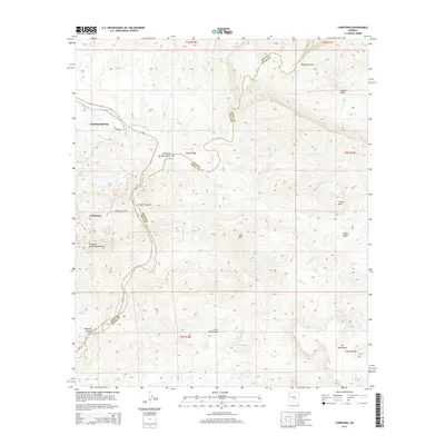
2014 Map of Christmas
USGS Topo · Published 2014About this map
Christmas and the Dripping Springs area define the human landscape of this 2014 survey along the Gila River. The topography is dominated by the steep ascent of the Dripping Spring Mountains and Lee Mtn, with the winding course of Az-77 providing the primary corridor through the high desert. Historically significant for its namesake mine, the region is marked by industrial access points like Christmas Mine Rd leading into the rugged interior of Copper Canyon.
Find a feature on this map
32 named features on this map. Tap any name to fly to it.
Don’t see what you’re looking for? This feature index may not catch every label — zoom into the map to look around manually.
Map Details
Editions of this 2014 Christmas Map
This is the sole edition of this map. No revisions or reprints were ever made.
Other maps of this area

1910 · Ray
USGS Topo · 1:62,500

1911 · Winkelman
USGS Topo · 1:125,000

1913 · Winkelman
USGS Topo · 1:125,000

1915 · Christmas
USGS Topo · 1:62,500

1917 · Christmas
USGS Topo · 1:62,500

1949 · Holy Joe Peak
USGS Topo · 1:62,500

1949 · Winkelman
USGS Topo · 1:24,000

1949 · Winkelman
USGS Topo · 1:62,500

1949 · Saddle Mtn.
USGS Topo · 1:24,000

1949 · Brandenburg Mtn
USGS Topo · 1:24,000