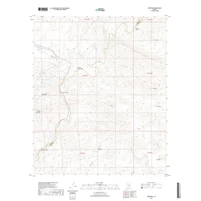
2018 Map of Christmas
USGS Topo · Published 2018About this map
The Gila River winds through the heart of this Arizona landscape, carving a path between the Dripping Spring Mountains to the west and the high peaks of the Mescal Mountains to the east. At the center of the survey is Christmas, a location historically tied to the copper mining operations that have long shaped the region's economy and geography. The topography is defined by significant elevation changes, from the deep floor of Copper Canyon and O'Carroll Canyon to prominent summits like Corral Mtn and Lee Mtn.
Find a feature on this map
31 named features on this map. Tap any name to fly to it.
Don’t see what you’re looking for? This feature index may not catch every label — zoom into the map to look around manually.
Map Details
Editions of this 2018 Christmas Map
This is the sole edition of this map. No revisions or reprints were ever made.
Other maps of this area

1910 · Ray
USGS Topo · 1:62,500

1911 · Winkelman
USGS Topo · 1:125,000

1913 · Winkelman
USGS Topo · 1:125,000

1915 · Christmas
USGS Topo · 1:62,500

1917 · Christmas
USGS Topo · 1:62,500

1949 · Holy Joe Peak
USGS Topo · 1:62,500

1949 · Winkelman
USGS Topo · 1:24,000

1949 · Winkelman
USGS Topo · 1:62,500

1949 · Saddle Mtn.
USGS Topo · 1:24,000

1949 · Brandenburg Mtn
USGS Topo · 1:24,000