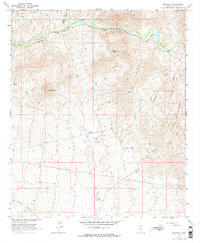
1964 Map of Grayback
USGS Topo · Published 1970About this map
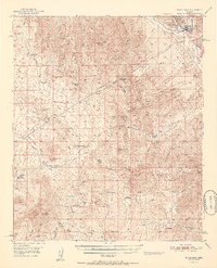
Golden Bell Mine and the Woolley Mine sit within this Pinal County landscape, representing the mid-century mining interests of the region. The Gila River winds through the northern section of the map, followed closely by the tracks of the Southern Pacific railroad, which provided the essential transport link for local ranching and mineral extraction. Ranching operations are marked by the A-Diamond Ranch near the river and the Tea Cup Ranch to the south.
Find a feature on this map
21 named features on this map. Tap any name to fly to it.
Don’t see what you’re looking for? This feature index may not catch every label — zoom into the map to look around manually.
Map Details
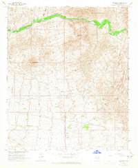
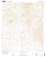
Editions of this 1964 Grayback Map
3 editions found
Other maps of this area

1900 · Florence
USGS Topo · 1:125,000

1902 · Florence
USGS Topo · 1:125,000

1910 · Ray
USGS Topo · 1:62,500

1911 · Winkelman
USGS Topo · 1:125,000

1913 · Winkelman
USGS Topo · 1:125,000

1934 · Newman Peak
USGS Topo · 1:125,000

1949 · Crozier Peak
USGS Topo · 1:24,000

1949 · Winkelman
USGS Topo · 1:62,500
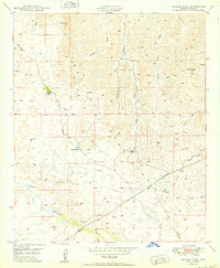
1950 · Crozier Peak
USGS Topo · 1:24,000
1951 · Winkelman
USGS Topo · 1:62,500