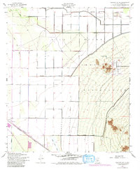
1952 Map of Sacaton Butte
USGS Topo · Published 1980About this map
Gila River Indian Reservation lands dominate this mid-century survey of the Arizona desert, anchored by the settlement of Casa Blanca. The landscape is defined by the ephemeral Santa Cruz Wash and the Gila River, which provide the hydrological framework for the region's agricultural and transit infrastructure. Evidence of local industry and community life appears in the south at Papago Gin, while the Southern Maricopa Pacific Road traces a vital transportation corridor through the arid terrain.
Find a feature on this map
18 named features on this map. Tap any name to fly to it.
Don’t see what you’re looking for? This feature index may not catch every label — zoom into the map to look around manually.
Map Details
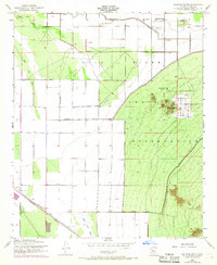
Editions of this 1952 Sacaton Butte Map
3 editions found

Other maps of this area

1913 · Maricopa
USGS Topo · 1:62,500

1914 · Gila Butte
USGS Topo · 1:62,500

1915 · Maricopa
USGS Topo · 1:62,500

1917 · Gila Butte
USGS Topo · 1:62,500

1922 · Casa Grande
USGS Topo · 1:62,500

1924 · Casa Grande
USGS Topo · 1:62,500

1946 · Antelope Peak
USGS Topo · 1:62,500

1948 · Antelope Peak
USGS Topo · 1:62,500

1952 · Gila Butte SE
USGS Topo · 1:24,000

1952 · Maricopa
USGS Topo · 1:24,000