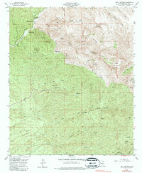
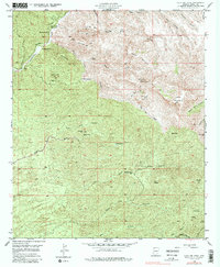
1949 Map of Holy Joe Peak
USGS Topo · Published 1987About this map
The high desert canyons and peaks of Pinal County are documented here following a mid-century field check, illustrating a landscape of isolated ranching and mining. Cattle operations and family homesteads are scattered throughout the difficult terrain, including Mounterest Ranch, Reese Ranch, and the Blake Place. This era shows the transition of local infrastructure, notably evidenced by the Vale District Sch (Aband), signaling a shift in the remote settlement patterns of the Arizona backcountry.
Find a feature on this map
45 named features on this map. Tap any name to fly to it.
Don’t see what you’re looking for? This feature index may not catch every label — zoom into the map to look around manually.
Map Details
Editions of this 1949 Holy Joe Peak Map
5 editions found
Other maps of this area

1911 · Winkelman
USGS Topo · 1:125,000

1913 · Winkelman
USGS Topo · 1:125,000

1938 · Galiuro Mts
USGS Topo · 1:48,000

1938 · Klondyke
USGS Topo · 1:48,000

1943 · Galiuro Mts
USGS Topo · 1:62,500

1943 · Klondyke
USGS Topo · 1:62,500

1948 · Clark Ranch
USGS Topo · 1:24,000

1948 · Mammoth
USGS Topo · 1:62,500

1948 · Mammoth
USGS Topo · 1:24,000

1949 · Clark Ranch
USGS Topo · 1:24,000