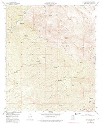
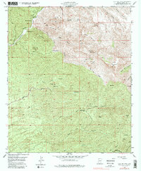
1949 Map of Holy Joe Peak
USGS Topo · Published 1982About this map
The canyons and peaks of Pinal County are depicted here in a landscape defined by isolated ranching and mining efforts following World War II. The terrain is marked by the presence of the Vale District Sch (Aban'd) near Mounterest Ranch, suggesting a once-active rural school district that had already faded by the late 1940s. Water management is central to life in this arid region, evidenced by Zapata Well, Moffit Tank, and numerous springs scattered among the elevations of Holy Joe Peak and Table Mountain.
Find a feature on this map
44 named features on this map. Tap any name to fly to it.
Don’t see what you’re looking for? This feature index may not catch every label — zoom into the map to look around manually.
Map Details
Editions of this 1949 Holy Joe Peak Map
5 editions found
Other maps of this area

1911 · Winkelman
USGS Topo · 1:125,000

1913 · Winkelman
USGS Topo · 1:125,000

1938 · Galiuro Mts
USGS Topo · 1:48,000

1938 · Klondyke
USGS Topo · 1:48,000

1943 · Galiuro Mts
USGS Topo · 1:62,500

1943 · Klondyke
USGS Topo · 1:62,500

1948 · Clark Ranch
USGS Topo · 1:24,000

1948 · Mammoth
USGS Topo · 1:62,500

1948 · Mammoth
USGS Topo · 1:24,000

1949 · Clark Ranch
USGS Topo · 1:24,000