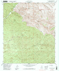
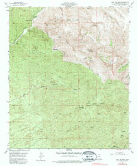
1949 Map of Holy Joe Peak
USGS Topo · Published 1987About this map
The Vale District Sch (Aban'd) sits as a silent landmark of early 20th-century Pinal County education, located near the banks of Aravaipa Creek. This 1940s landscape is defined by its deep canyon systems and scattered ranching operations, such as Mounterest Ranch and Aravaipa Farms. The terrain rises sharply to the east toward prominent summits including Holy Joe Peak, Table Mountain, and Oak Mining Mtn.
Find a feature on this map
44 named features on this map. Tap any name to fly to it.
Don’t see what you’re looking for? This feature index may not catch every label — zoom into the map to look around manually.
Map Details
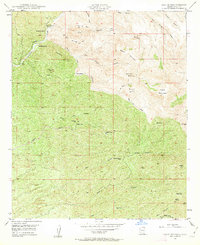
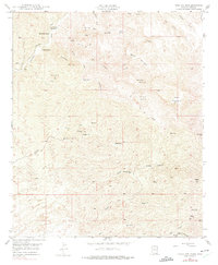
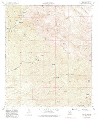
Editions of this 1949 Holy Joe Peak Map
5 editions found
Other maps of this area

1911 · Winkelman
USGS Topo · 1:125,000

1913 · Winkelman
USGS Topo · 1:125,000

1938 · Galiuro Mts
USGS Topo · 1:48,000

1938 · Klondyke
USGS Topo · 1:48,000

1943 · Galiuro Mts
USGS Topo · 1:62,500

1943 · Klondyke
USGS Topo · 1:62,500

1948 · Clark Ranch
USGS Topo · 1:24,000

1948 · Mammoth
USGS Topo · 1:62,500

1948 · Mammoth
USGS Topo · 1:24,000

1949 · Clark Ranch
USGS Topo · 1:24,000