
1949 Map of Niobe
USGS Topo · Published 1949About this map
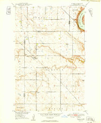
The settlement of Niobe anchors this North Dakota landscape where the Great Northern railroad cuts through the coulees of Ward and Burke Counties. Surveyed in the late 1940s, the map reveals a rural economy organized around the township lines of Elmdale, Roseland, and Spencer. The topography is defined by the sharp descent from the Coteau down into Niobe Coulee and Ankenbauer Coulee, drainage systems that feed toward the northeast corner of the quadrangle.
Find a feature on this map
18 named features on this map. Tap any name to fly to it.
Don’t see what you’re looking for? This feature index may not catch every label — zoom into the map to look around manually.
Map Details
Editions of this 1949 Niobe Map
2 editions found
Other maps of this area

1947 · Bowbells
USGS Topo · 1:24,000

1948 · Kenmare
USGS Topo · 1:24,000

1948 · Coteau
USGS Topo · 1:24,000

1948 · Vanville NE
USGS Topo · 1:24,000

1949 · Mosquito Butte
USGS Topo · 1:24,000

1949 · Bowbells
USGS Topo · 1:24,000

1949 · Bowbells SE
USGS Topo · 1:24,000

1949 · Coulee
USGS Topo · 1:24,000

1950 · Vanville NE
USGS Topo · 1:24,000

1950 · Bowbells
USGS Topo · 1:62,500