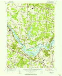
1954 Map of Niskayuna
USGS Topo · Published 1956About this map
The Mohawk River carves through this mid-1950s landscape, serving as a boundary between Saratoga, Schenectady, and Albany counties. The transition of New York's waterway history is starkly visible here, where the active Erie Canal runs alongside sections of Abandoned Canal. The southern portion of the map is defined by the growing infrastructure of Colonie, anchored by the Albany Municipal Airport and emerging residential developments like Whitney Estates.
Find a feature on this map
68 named features on this map. Tap any name to fly to it.
Don’t see what you’re looking for? This feature index may not catch every label — zoom into the map to look around manually.
Map Details
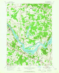
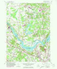
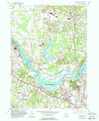
Editions of this 1954 Niskayuna Map
4 editions found
Other maps of this area

1893 · Cohoes
USGS Topo · 1:62,500

1893 · Troy
USGS Topo · 1:62,500

1893 · Schenectady
USGS Topo · 1:62,500

1893 · Albany
USGS Topo · 1:62,500

1895 · Troy
USGS Topo · 1:62,500

1895 · Cohoes
USGS Topo · 1:62,500

1895 · Albany
USGS Topo · 1:62,500

1895 · Schenectady
USGS Topo · 1:62,500

1898 · Schenectady
USGS Topo · 1:62,500

1898 · Albany
USGS Topo · 1:62,500