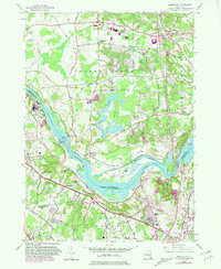
1954 Map of Niskayuna
USGS Topo · Published 1981About this map
The Mohawk River serves as the central artery for this mid-century landscape, marking the convergence of Saratoga, Schenectady, and Albany Counties. The map reveals the intricate layering of New York's transportation history, where the modern Erie Canal runs alongside sections of the Old Erie Canal (Abandoned) near Vischer Ferry. To the north, the rapid post-war growth of Clifton Park is evident through the development of the Shenendehowa Central Sch and the complex interchange at Clifton Park Center.
Find a feature on this map
68 named features on this map. Tap any name to fly to it.
Don’t see what you’re looking for? This feature index may not catch every label — zoom into the map to look around manually.
Map Details
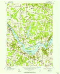
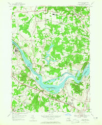
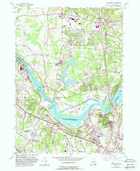
Editions of this 1954 Niskayuna Map
4 editions found
Other maps of this area

1893 · Cohoes
USGS Topo · 1:62,500

1893 · Troy
USGS Topo · 1:62,500

1893 · Schenectady
USGS Topo · 1:62,500

1893 · Albany
USGS Topo · 1:62,500

1895 · Troy
USGS Topo · 1:62,500

1895 · Cohoes
USGS Topo · 1:62,500

1895 · Albany
USGS Topo · 1:62,500

1895 · Schenectady
USGS Topo · 1:62,500

1898 · Schenectady
USGS Topo · 1:62,500

1898 · Albany
USGS Topo · 1:62,500