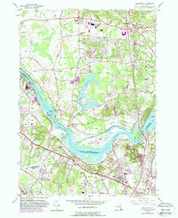
1954 Map of Niskayuna
USGS Topo · Published 1988About this map
The Mohawk River serves as the central artery of this mid-century survey, dividing the communities of Clifton Park and Colonie. The landscape preserves a transition from agricultural roots to early suburban expansion, notably seen around the developing Shenendehowa Central Sch and the southern Albany County Airport. River history is deeply embedded here, evidenced by the alignment of the Erie Canal and a clearly marked Erie Canal (Abandoned) segment that traces the older path of commerce.
Find a feature on this map
61 named features on this map. Tap any name to fly to it.
Don’t see what you’re looking for? This feature index may not catch every label — zoom into the map to look around manually.
Map Details
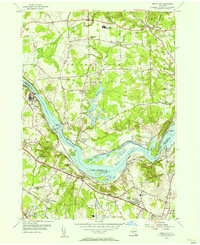
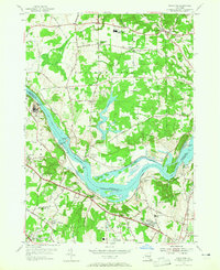
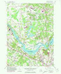
Editions of this 1954 Niskayuna Map
4 editions found
Other maps of this area

1893 · Cohoes
USGS Topo · 1:62,500

1893 · Troy
USGS Topo · 1:62,500

1893 · Schenectady
USGS Topo · 1:62,500

1893 · Albany
USGS Topo · 1:62,500

1895 · Troy
USGS Topo · 1:62,500

1895 · Cohoes
USGS Topo · 1:62,500

1895 · Albany
USGS Topo · 1:62,500

1895 · Schenectady
USGS Topo · 1:62,500

1898 · Schenectady
USGS Topo · 1:62,500

1898 · Albany
USGS Topo · 1:62,500