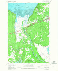
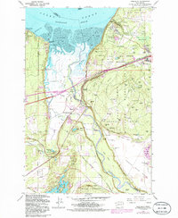
1959 Map of Nisqually
USGS Topo · Published 1967About this map
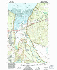
The Nisqually Flats and the delta of the Nisqually River dominate this coastal landscape as it appeared in the mid-20th century. The map highlights the significant intersection of military, indigenous, and transport history, showing the expansive Fort Lewis Military Reservation covering much of the eastern terrain. Within these grounds, the Argonne Forest and various family-named hills like Sanders Hill and Hayes Hill stand alongside military infrastructure such as the 38th Infantry Bluff. Traces of earlier settlements and vital infrastructure are evident at Nisqually Station and the McAllister Springs Pumping Station. The boundary between Pierce and Thurston counties follows the river's winding path toward Puget Sound. Cultural landmarks like the Medicine Creek Monument and the Indian Treaty Bdy reflect the deep history of the Nisqually people, while the presence of the Old Pacific Highway and the Great Northern railroad tracks illustrate the region's role as a major transportation corridor.
Find a feature on this map
83 named features on this map. Tap any name to fly to it.
Don’t see what you’re looking for? This feature index may not catch every label — zoom into the map to look around manually.
Map Details
Editions of this 1959 Nisqually Map
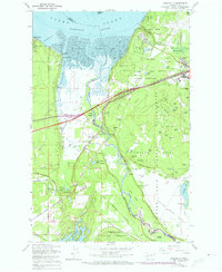
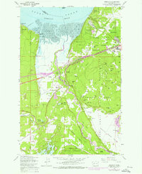
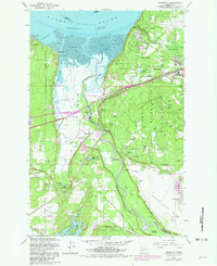
6 editions found
Other maps of this area

1916 · Chehalis
USGS Topo · 1:125,000

1937 · Olympia
USGS Topo · 1:62,500

1940 · Tenino
USGS Topo · 1:62,500

1940 · Anderson Island
USGS Topo · 1:62,500

1944 · Tenino
USGS Topo · 1:62,500

1944 · Yelm
USGS Topo · 1:62,500

1948 · Anderson Island
USGS Topo · 1:62,500

1948 · Fort Lewis
USGS Topo · 1:24,000

1948 · Nisqually
USGS Topo · 1:24,000

1948 · Anderson Island
USGS Topo · 1:24,000