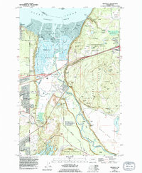
1959 Map of Nisqually
USGS Topo · Published 1994About this map
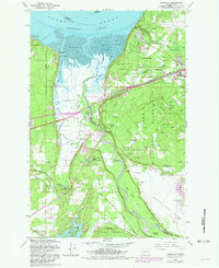
The Nisqually River delta dominates this landscape, where the river meets the Nisqually Reach of Puget Sound. Much of the northern shoreline is defined by the Nisqually National Wildlife Refuge and the tidal Nisqually Flats, transitioning inland to the extensive grounds of the Fort Lewis Military Reservation. This area shows a complex mix of conservation, military utility, and early Puget Sound industry, particularly around the DuPont Wharf and the rail corridors.
Find a feature on this map
86 named features on this map. Tap any name to fly to it.
Don’t see what you’re looking for? This feature index may not catch every label — zoom into the map to look around manually.
Map Details
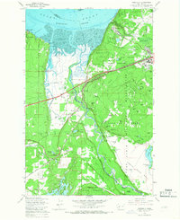
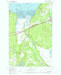
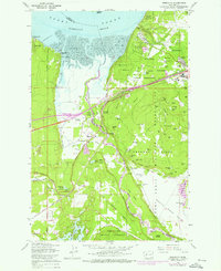
Editions of this 1959 Nisqually Map
6 editions found
Other maps of this area

1916 · Chehalis
USGS Topo · 1:125,000

1937 · Olympia
USGS Topo · 1:62,500

1940 · Tenino
USGS Topo · 1:62,500

1940 · Anderson Island
USGS Topo · 1:62,500

1944 · Tenino
USGS Topo · 1:62,500

1944 · Yelm
USGS Topo · 1:62,500

1948 · Anderson Island
USGS Topo · 1:62,500

1948 · Fort Lewis
USGS Topo · 1:24,000

1948 · Nisqually
USGS Topo · 1:24,000

1948 · Anderson Island
USGS Topo · 1:24,000