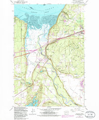
1959 Map of Nisqually
USGS Topo · Published 1986About this map
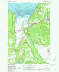
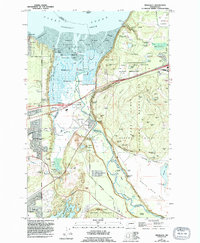
Nisqually Flats and the sprawling tidal marshes of Nisqually Reach dominate this mid-century landscape where the Nisqually River meets Puget Sound. The map documents a complex intersection of military, tribal, and civil geography, notably featuring the Fort Lewis Military Reservation and the Indian Treaty Boundary. Small shoreline settlements like Luhr Beach and Beachcrest sit opposite the extensive military training grounds of the Argonne Forest, which is dotted with numerous named tactical landmarks such as 18th Infantry Bluff and Rumble Hill. Transportation corridors are well-defined, showing the Burlington Northern railroad and the Old Pacific Highway cutting through the terrain. Inland, the map captures a cluster of freshwater bodies including Lake St Clair and Nisqually Lake, alongside the specialized Forest Nursery and the McAllister Rod & Gun Club, reflecting the era's mix of conservation and recreation.
Find a feature on this map
69 named features on this map. Tap any name to fly to it.
Don’t see what you’re looking for? This feature index may not catch every label — zoom into the map to look around manually.
Map Details
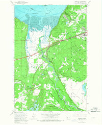
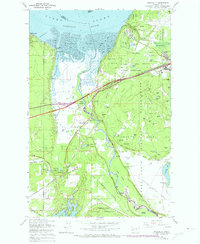
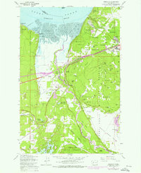
Editions of this 1959 Nisqually Map
6 editions found
Other maps of this area

1916 · Chehalis
USGS Topo · 1:125,000

1937 · Olympia
USGS Topo · 1:62,500

1940 · Tenino
USGS Topo · 1:62,500

1940 · Anderson Island
USGS Topo · 1:62,500

1944 · Tenino
USGS Topo · 1:62,500

1944 · Yelm
USGS Topo · 1:62,500

1948 · Anderson Island
USGS Topo · 1:62,500

1948 · Fort Lewis
USGS Topo · 1:24,000

1948 · Nisqually
USGS Topo · 1:24,000

1948 · Anderson Island
USGS Topo · 1:24,000