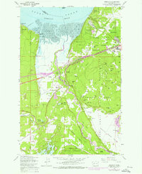
1959 Map of Nisqually
USGS Topo · Published 1976About this map
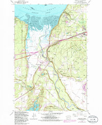
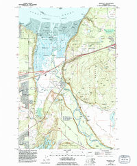
Fort Lewis Military Reservation and the sprawling Nisqually Flats dominate this mid-century landscape where the Nisqually River meets the Puget Sound. The map reveals a complex intersection of military land use, industrial infrastructure, and early suburban settlements like Beachcrest and Luhr Beach. The presence of the Indian Treaty Bdy and the McAllister Springs Aqueduct pumping station highlights the area's role in regional water management and historical land partitions. Significant transportation arteries, including the Union Pacific and Burlington Northern railroads, parallel the Pacific Highway, illustrating the corridor's importance for freight and travel. From the Holman Hill Sawmill near Dupont to the observation towers and bunkers of the Argonne Forest, the map captures a period of active military training and industrial activity alongside the natural wetlands of Edmond Marsh.
Find a feature on this map
92 named features on this map. Tap any name to fly to it.
Don’t see what you’re looking for? This feature index may not catch every label — zoom into the map to look around manually.
Map Details
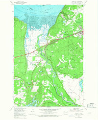
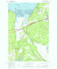
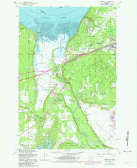
Editions of this 1959 Nisqually Map
6 editions found
Other maps of this area

1916 · Chehalis
USGS Topo · 1:125,000

1937 · Olympia
USGS Topo · 1:62,500

1940 · Tenino
USGS Topo · 1:62,500

1940 · Anderson Island
USGS Topo · 1:62,500

1944 · Tenino
USGS Topo · 1:62,500

1944 · Yelm
USGS Topo · 1:62,500

1948 · Anderson Island
USGS Topo · 1:62,500

1948 · Fort Lewis
USGS Topo · 1:24,000

1948 · Nisqually
USGS Topo · 1:24,000

1948 · Anderson Island
USGS Topo · 1:24,000