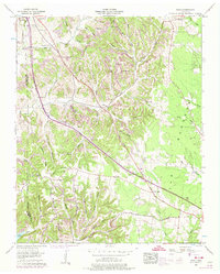
1956 Map of Noah
USGS Topo · Published 1974About this map
The boundary between Bedford Co Coffee Co and Coffee Co Warren Co defines the rugged landscape of this mid-century survey. Centered on the settlement of Beechgrove, the area is characterized by a dense network of family-named hollows and ridges, such as Lowe Hollow and Sartain Ridge, which directed early development and transport. The Dixie Highway and West Dixie Highway corridor serves as the primary artery, cutting through the terrain near Panhandle.
Find a feature on this map
60 named features on this map. Tap any name to fly to it.
Don’t see what you’re looking for? This feature index may not catch every label — zoom into the map to look around manually.
Map Details
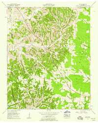
Editions of this 1956 Noah Map
2 editions found
Other maps of this area

1913 · Hollow Springs
USGS Topo · 1:62,500

1936 · Ovoca
USGS Topo · 1:24,000

1936 · Webbs Jungle
USGS Topo · 1:24,000

1936 · Fredonia
USGS Topo · 1:24,000

1936 · Manchester
USGS Topo · 1:24,000

1936 · Beech Grove
USGS Topo · 1:24,000

1936 · Petty Gap
USGS Topo · 1:24,000

1936 · Noah
USGS Topo · 1:24,000

1936 · Wartrace
USGS Topo · 1:24,000

1936 · Normandy
USGS Topo · 1:24,000